The rural River Way Navigation is one of the UK’s older canals. Built in 1653 it pre dates Britain’s industrial canal system by over a 100 years. Yet interestingly it was still carrying commercial traffic up until the 1970s. The Wey Navigation is also relatively short at about 15.5 miles. It runs from the River Thames at Weybridge to Guildford where it joins the 4 mile long Godalming Navigation built in 1764. Locks are 14′-0″ wide by 71′-6″ and headroom is given as 7′-2″ at Stoke Lock Bridge. We had no problems.
The Way Navigation and the Godalming Navigation are run as one entity by the National Trust from Daphne Wharf, Guildford.
IMG_7447.JPGThe entrance to the Wey Navigation.
The lock gate in the background is not the main lock but a gate used to lift the River Wey level above the River Thames level when the Thames is low, as it was on our visit. (A water tap is located at the steps.)
Note:
When coming down the Thames a virtual 360 turn is required from Shepperton lock into what looks like the locks weir stream, the River Wey Navigation is off this, as is the River Wey back channel.
So from Shepperton lock side, walk down the path to the back side of the lock island where you will see the entrance to the Wey Navigation marked by a green NT sign.
The first lock, (Thames, No 16) with the NT office on the left.
This is where you pay your fees and pick up a Wey Navigation windlass which the NT loan you for the duration of your trip.
You will also get instruction on using the Wey locks and yellow bottom gate pins.
 Weybridge Town Lock (15), waiting area and junction with the Wey Back Water Channel.
If the gates are closed moor up, walk over the road, set lock and come back to boat.
Note:
As the boat below the lock is out of sight of the lock, if you can, leave a crew member at the lock or it will get taken by a descending boat!!!!!
 The cast iron bridge over the Wey back channel, I have been told this channel is navigable up to the old Brooklands Racing Track for small boats. The Wey Navigation Bridge has a flat cast iron beam and is behind me.
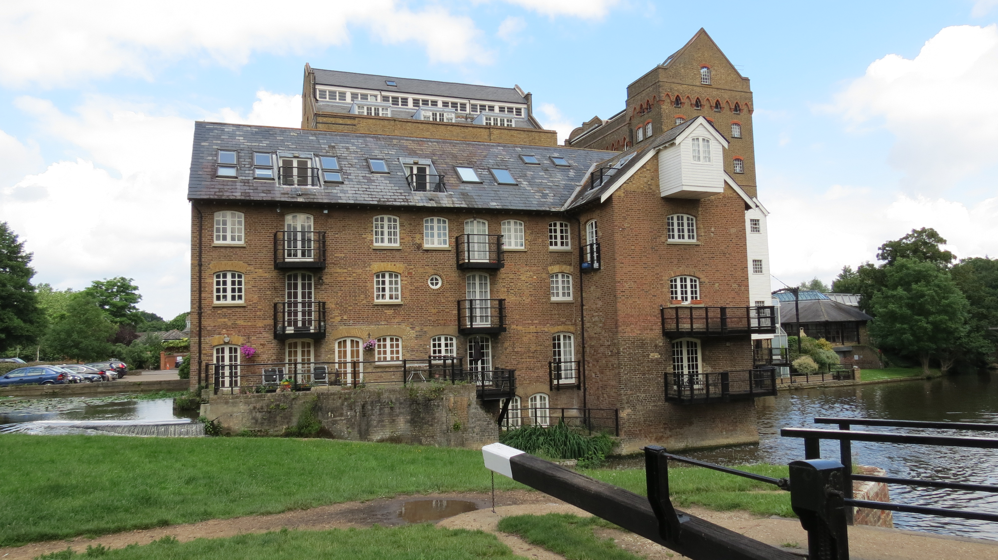
Coxes Mill & Lock (14)
The mill was receiving its grain by water from the London Docks right up until it was converted to flats in the 1980s.
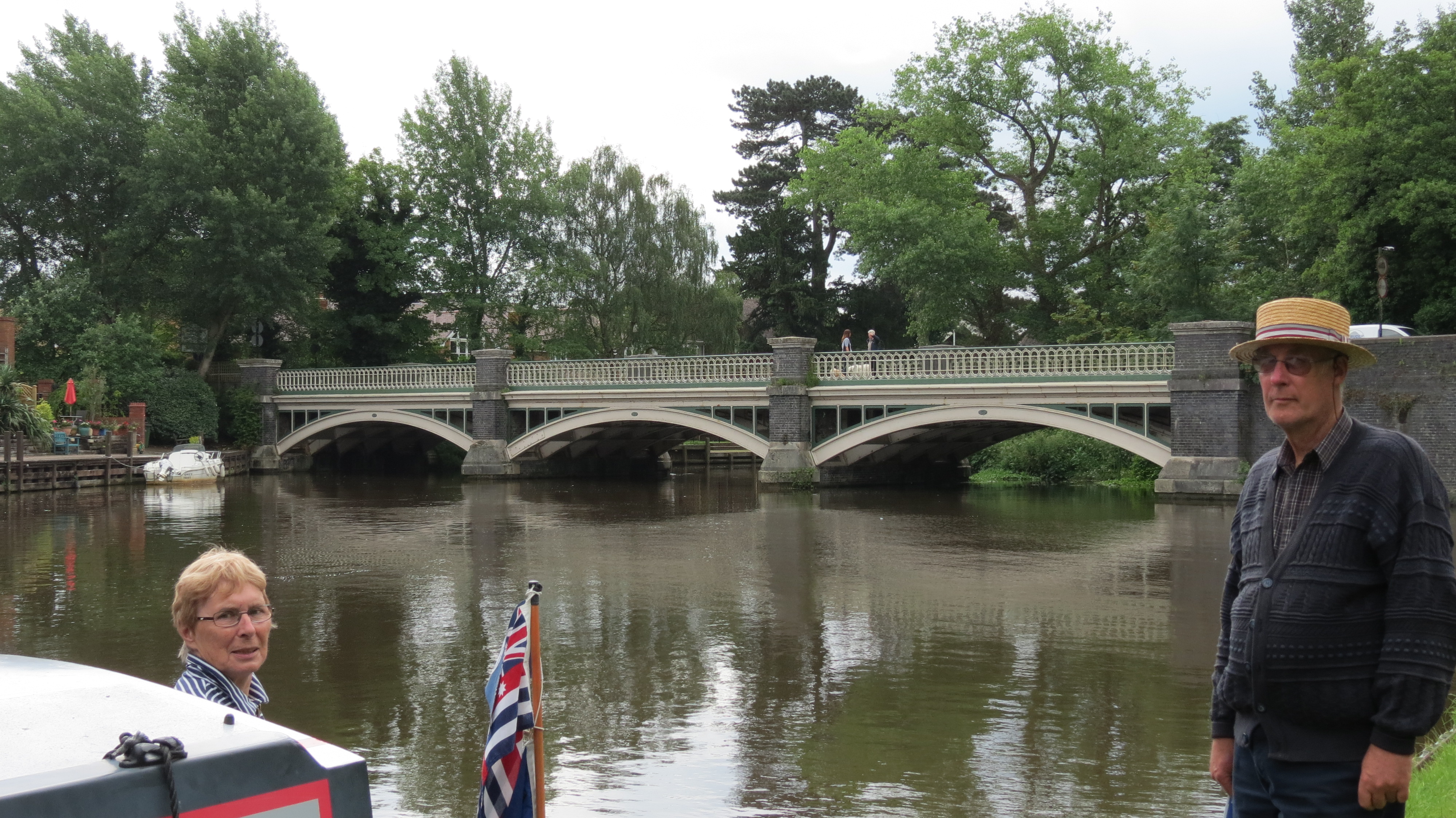
The Anchor at Pyrform Lock (12)
This is probably the best known pub on the Way Navigation, it was a great place to stop but has now morphed into a formulaic Gastro Pub. The setting is still lovely and much entertainment can be got from sitting outside watching boats pass and road traffic attempting to cross the very narrow canal bridge one at a time.
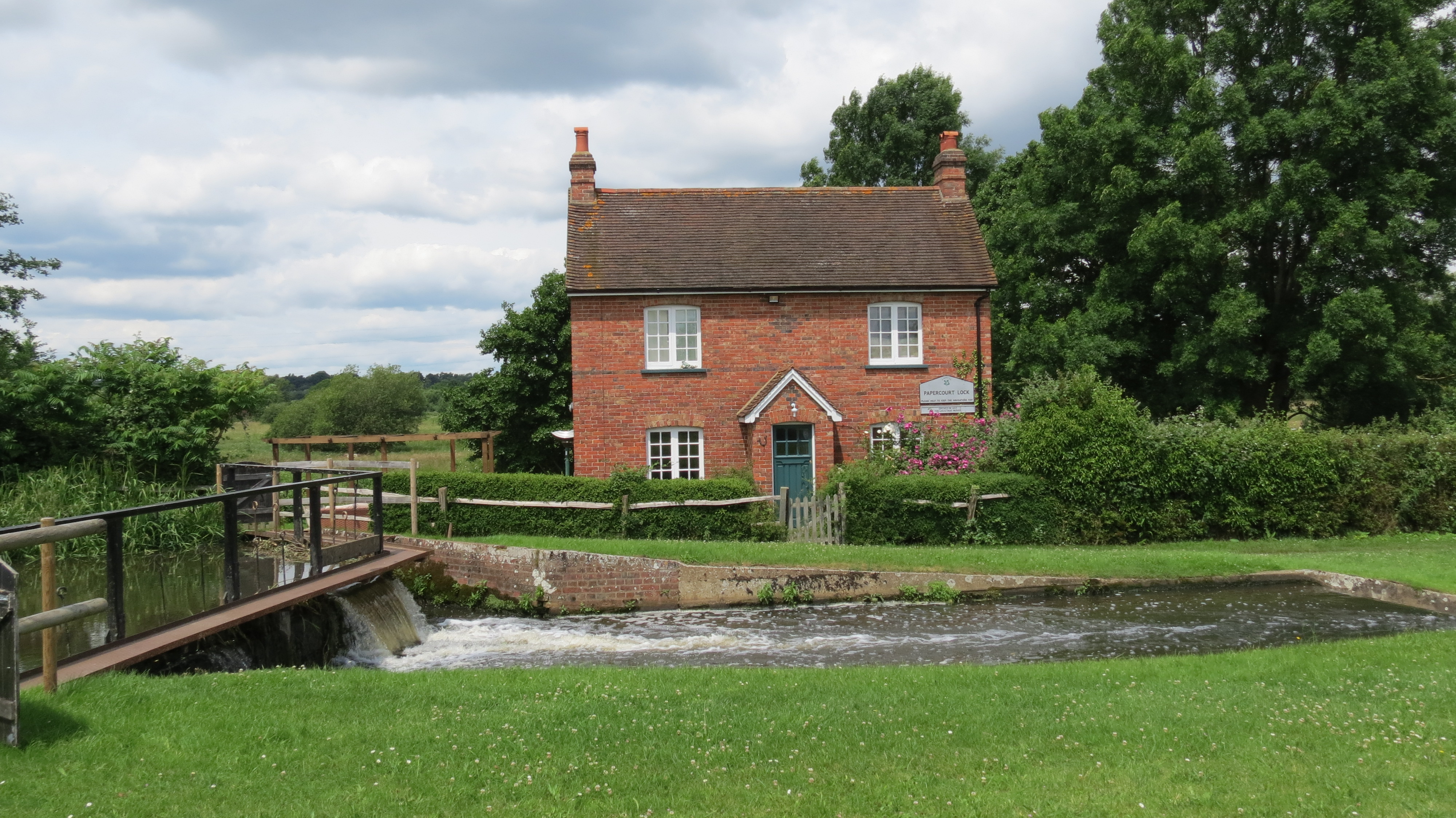 Papercourt Lock (9) Cottage
Several lock cottages similar to this are located along the navigation.
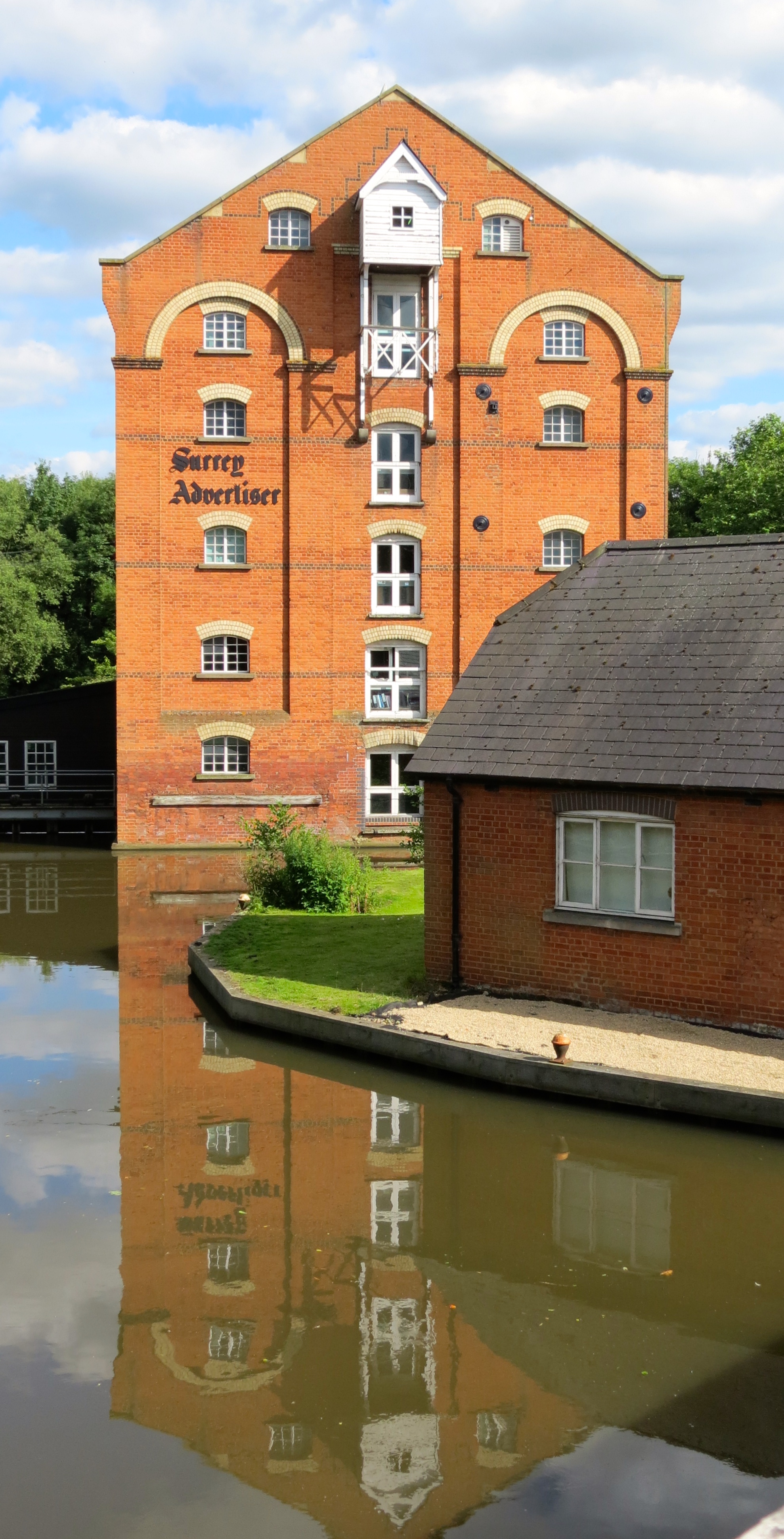
Stoke Mill
Built in 1879 it has been both a corn and paper mill. Milling stopped in 1957 when it was taken over by a local paint merchant, it was then converted to offices.
Access to the original moorings is denied by a very large “NO ENTRY” sign on the adjacent Road bridge.
The Row Barge just opposite Stoke Mill no entry bridge.
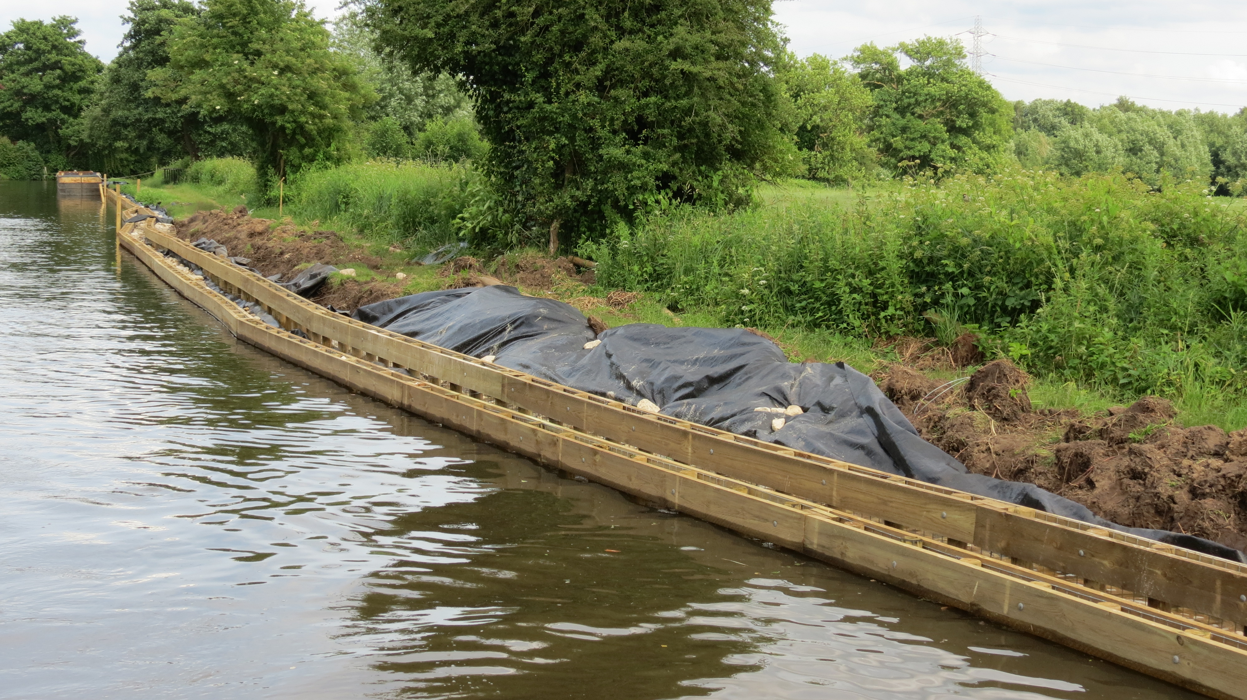
On our approach into Guildford we came across this bank stabilisation work in progress.
The timber supports a steel mesh grid which in turn retains a back fill of stones .
It looks like a very time consuming and very expensive system.
But just look at the end result below. One the NT made earlier.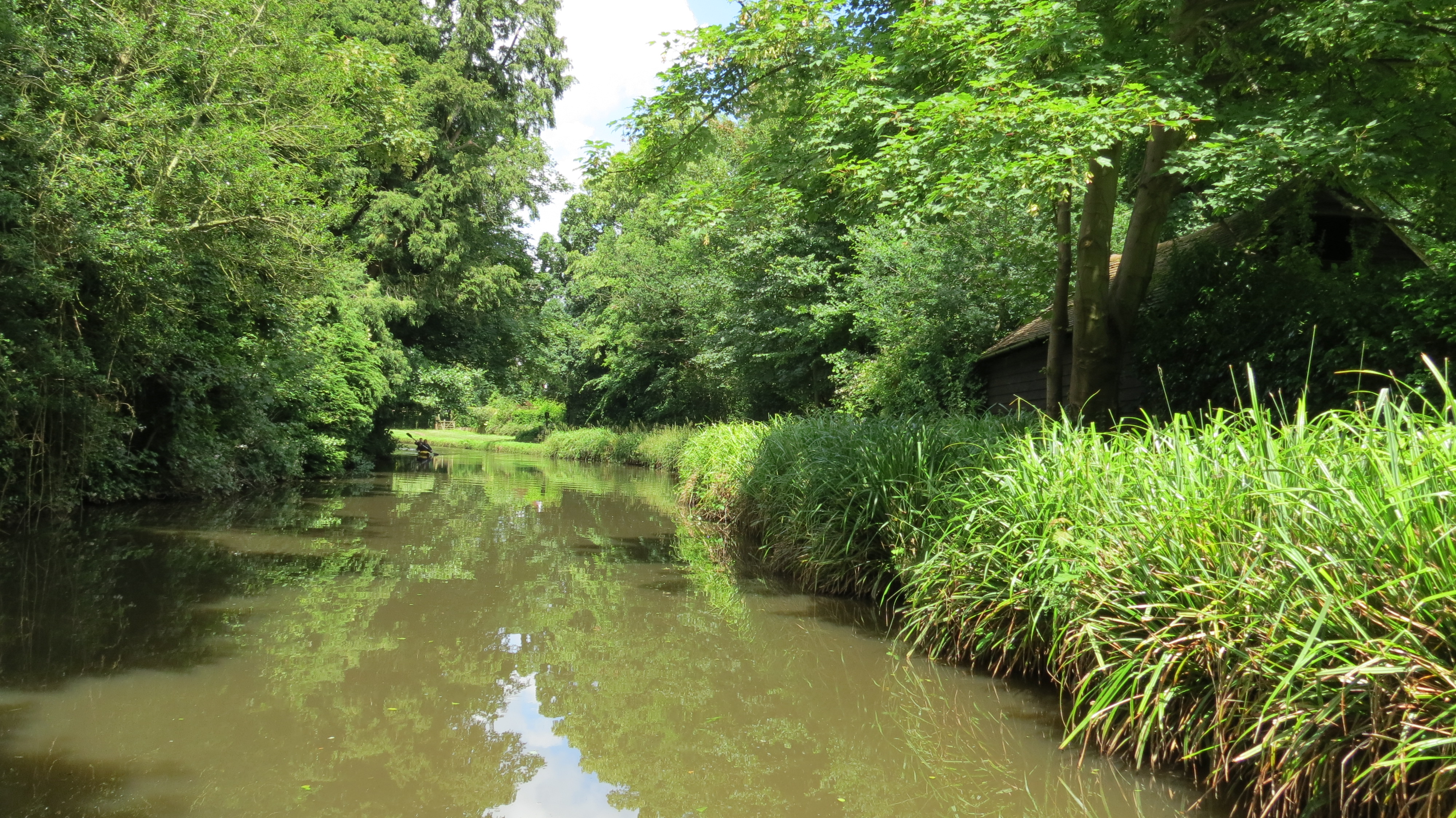
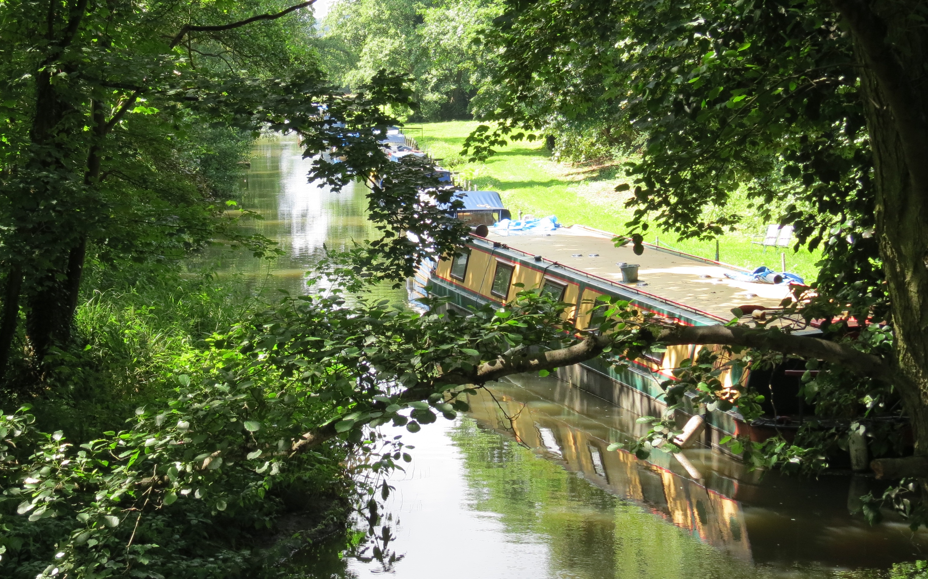
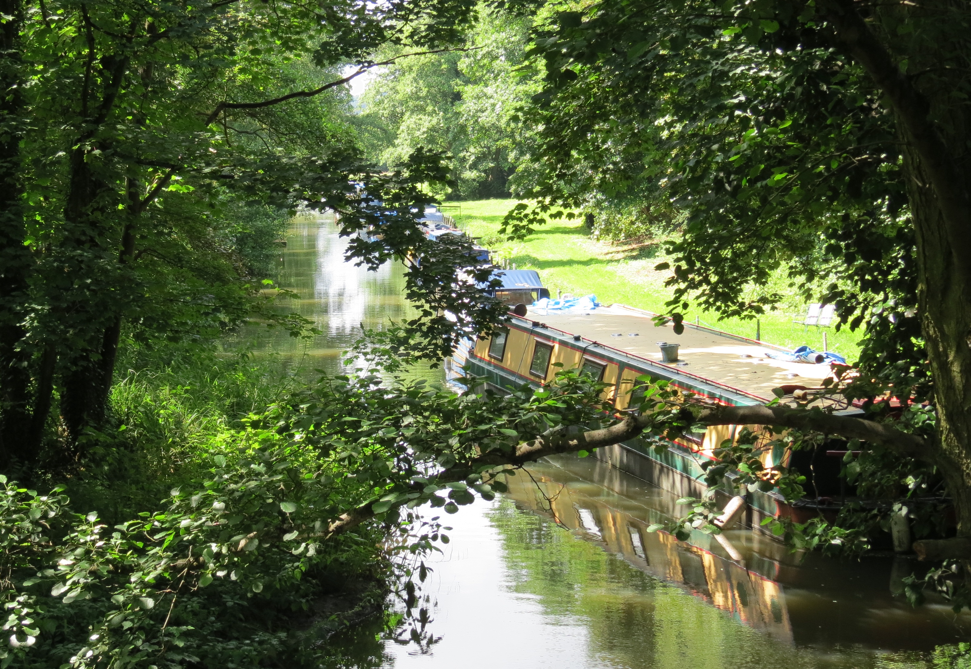
Apart from the bank work on the right, the Wey must be one of the most beautiful waterways in the UK, it is almost totally rural but has just enough in the way of man made structures to keep it interesting.
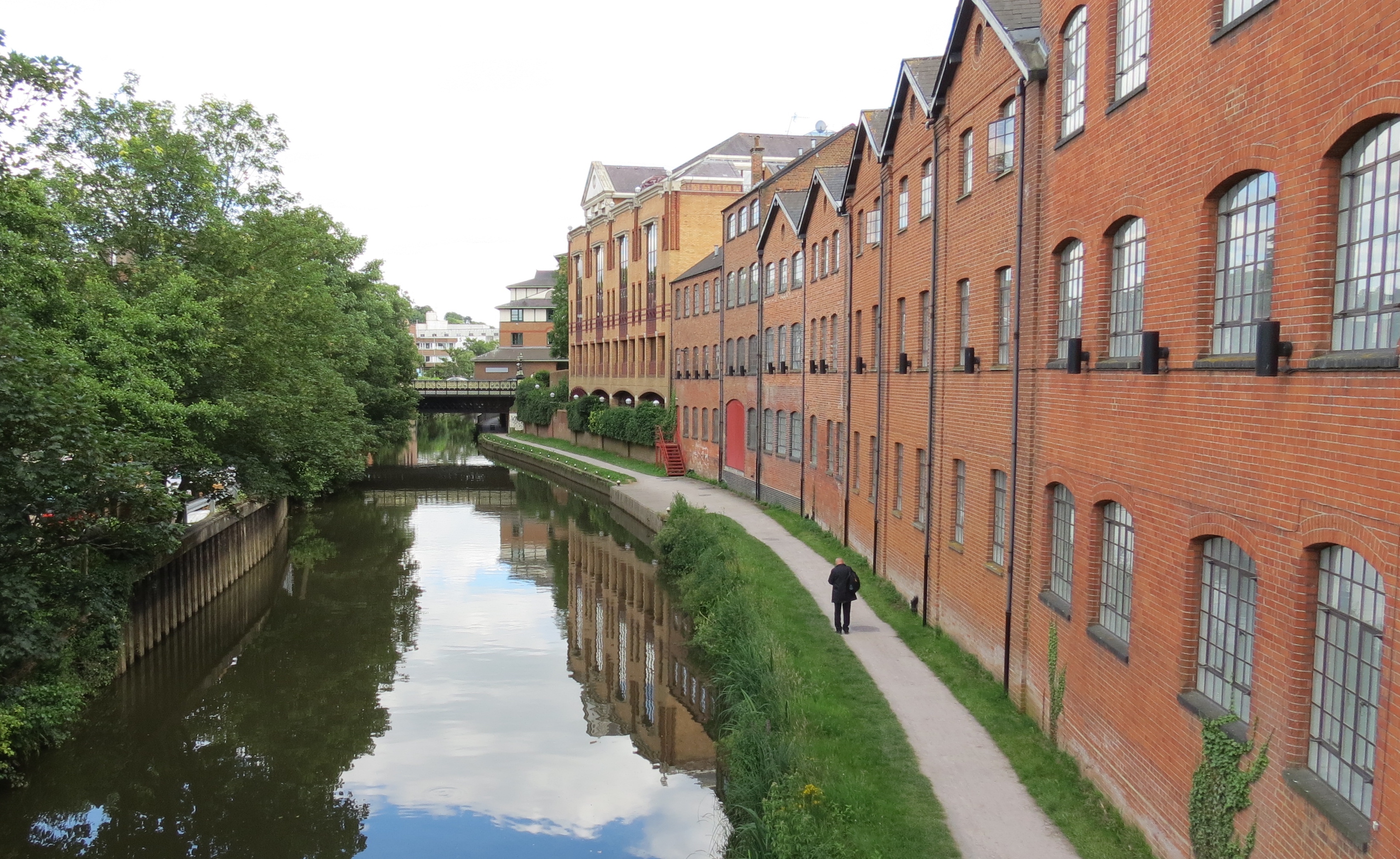
Guildford City Entry.
Law Courts on left, Guildford Station, behind the buildings on the right.
Steps up to the bridge from where this was taken, give very easy access to the Railway Station, and the moorings make it a good pick up point, however like most of Guildford’s urban waterway it has little else to command it.
 Moorings just above the Guildford Town Bridge which is in the background.
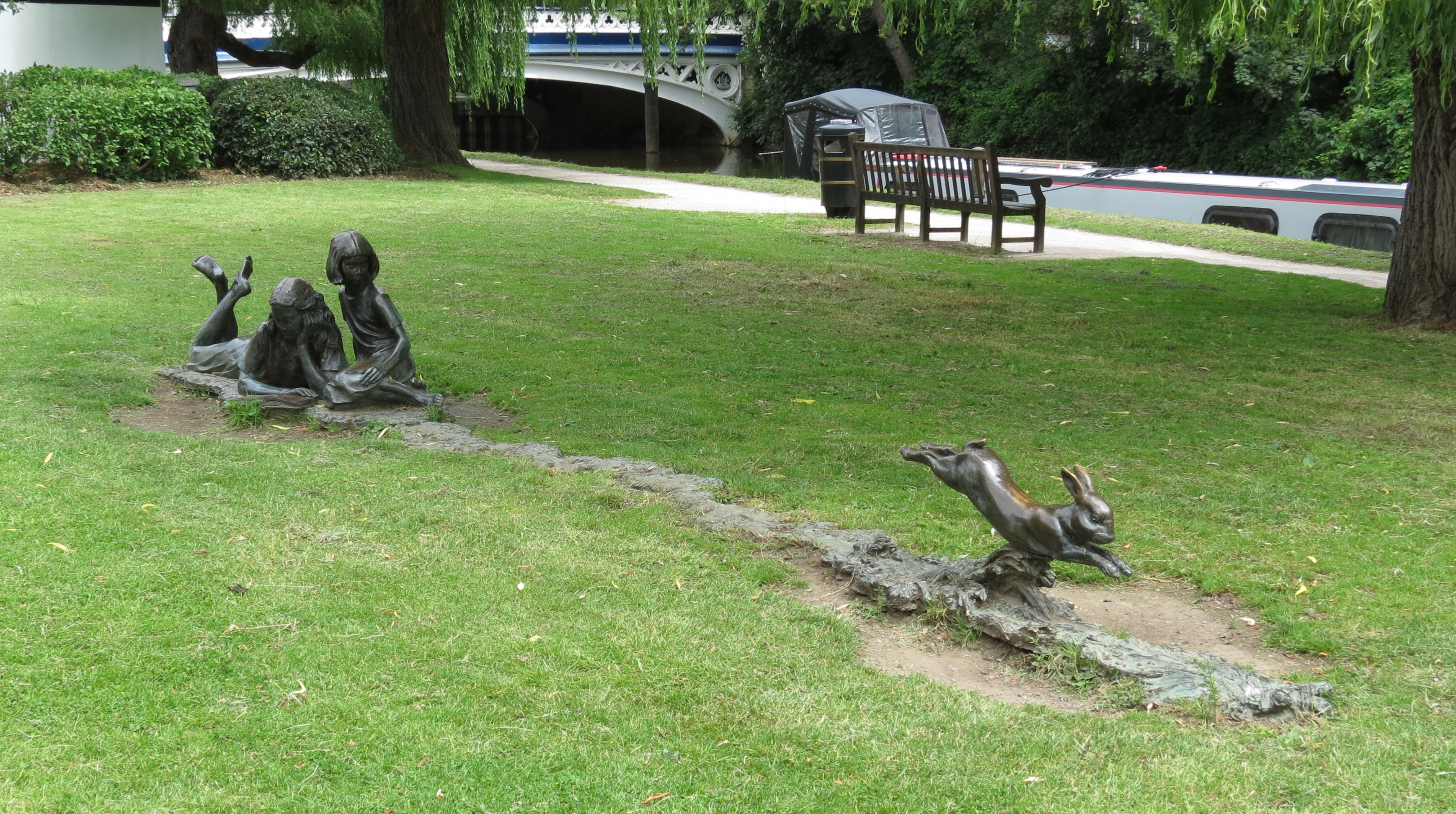
This pretty little bronze represents Alice observing the rabbit descending into Wonderland.
The mooring is ideal for the high street shops and two pubs are adjacent, we spent two nights here. The Town Wharf moorings just below the bridge are bleak. This was the Head of Navigation until 1763 when the Godalming Navigation was opened.
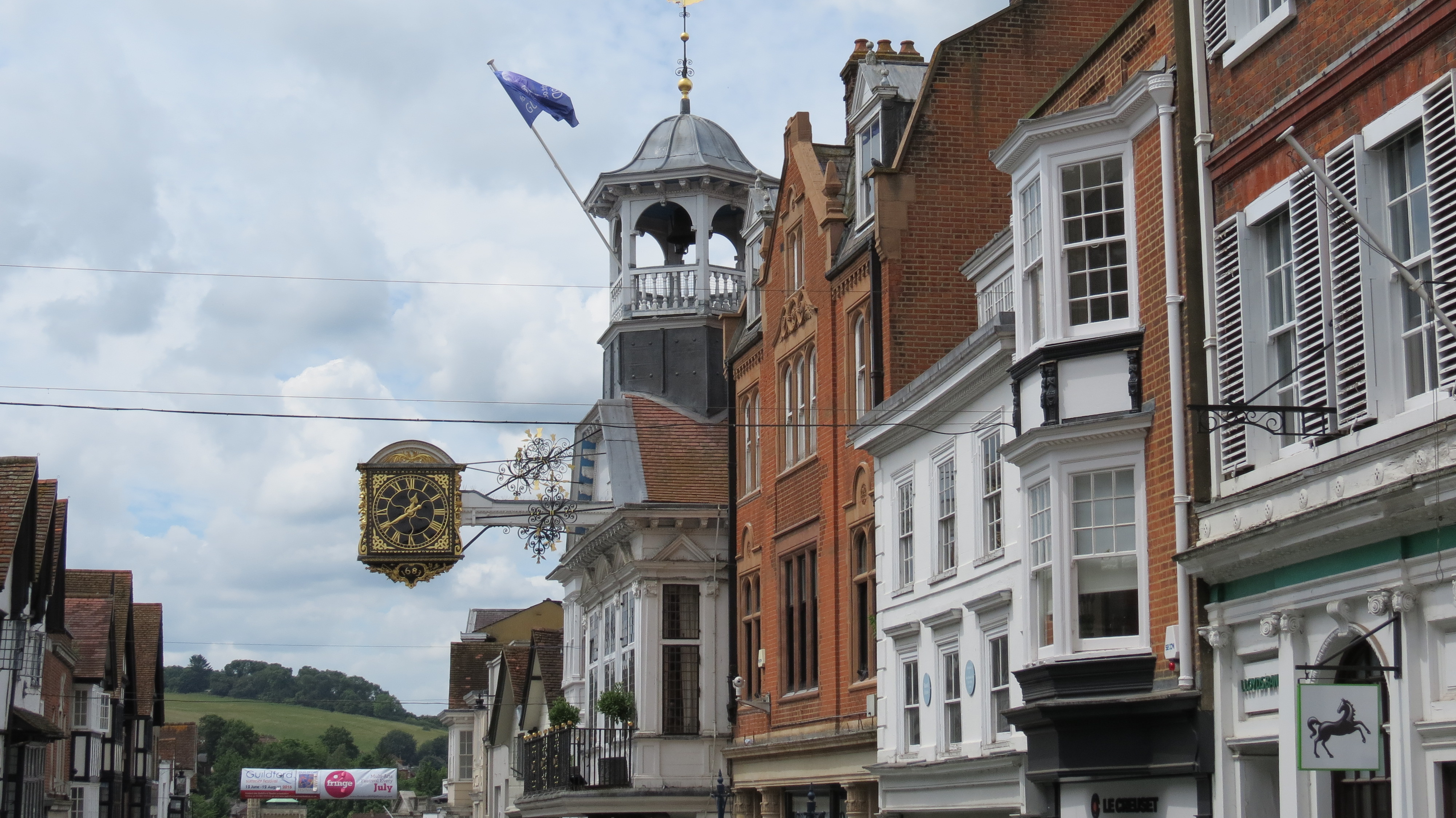
Guildford High Street.
Well worth a perambulation.
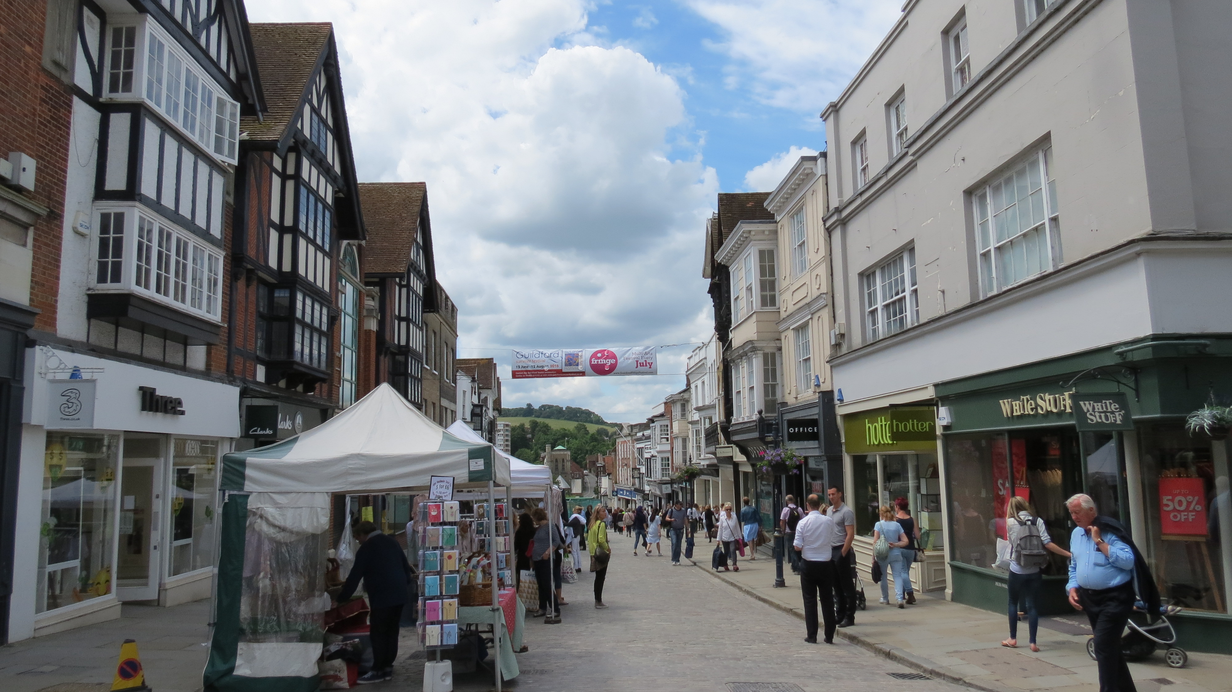
In addition to a town market, Guildford also has many alleys, side streets and courts which are also worth exploring.
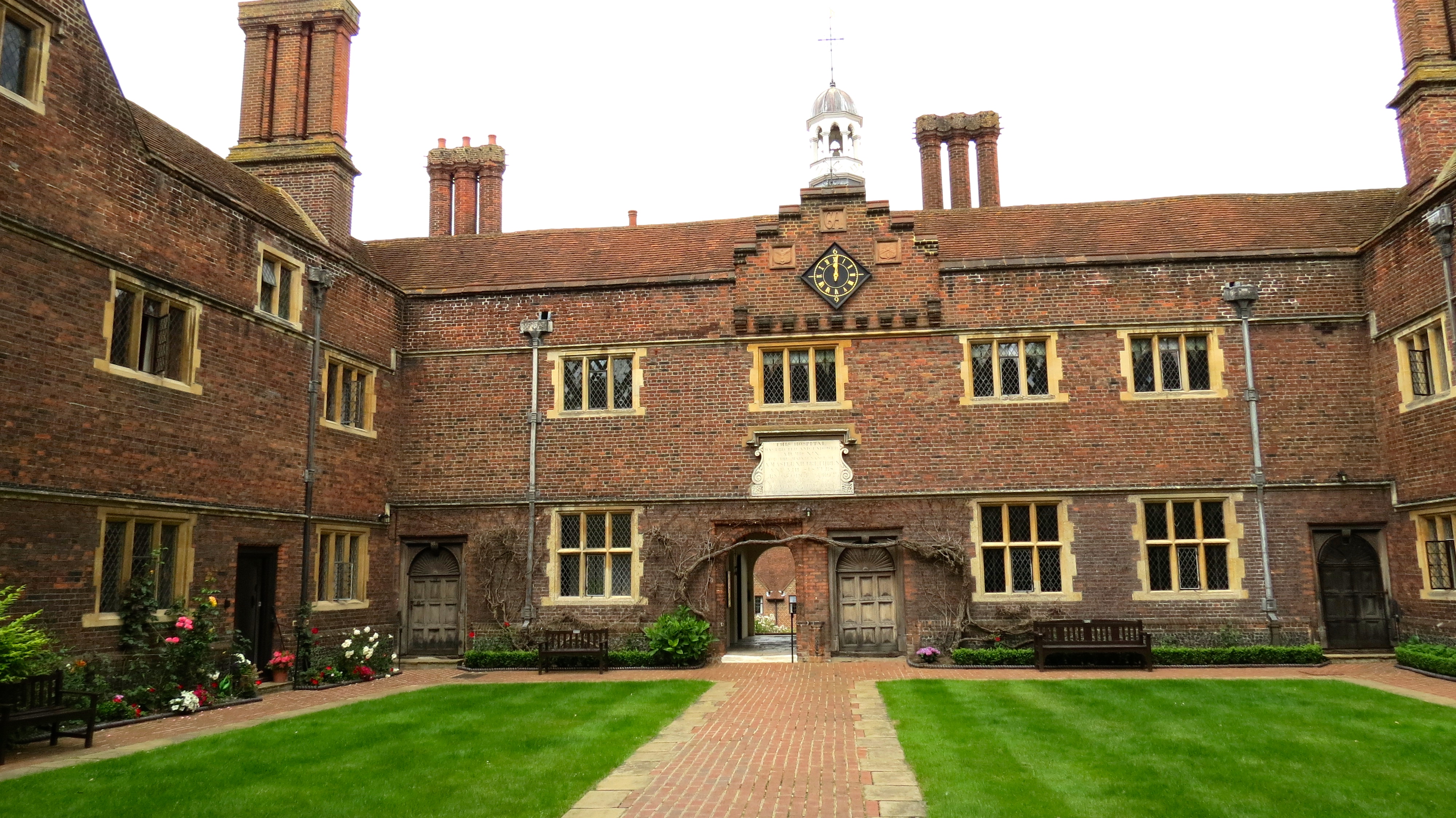
Abbot’s Hospital court, off the High Street, was built in 1619 and still functions as an Alms House for 16 single people.
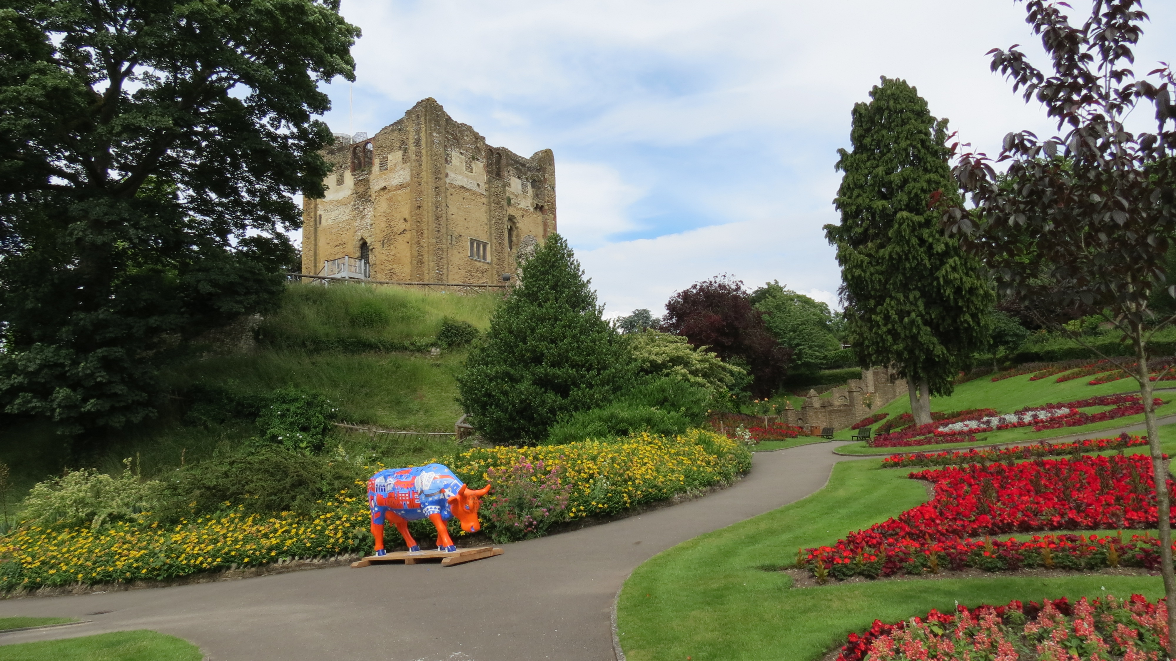
Guildford Castle (built by William 1) and gardens.
The gardens are spectacular and can be found down a lane just off the High Street.
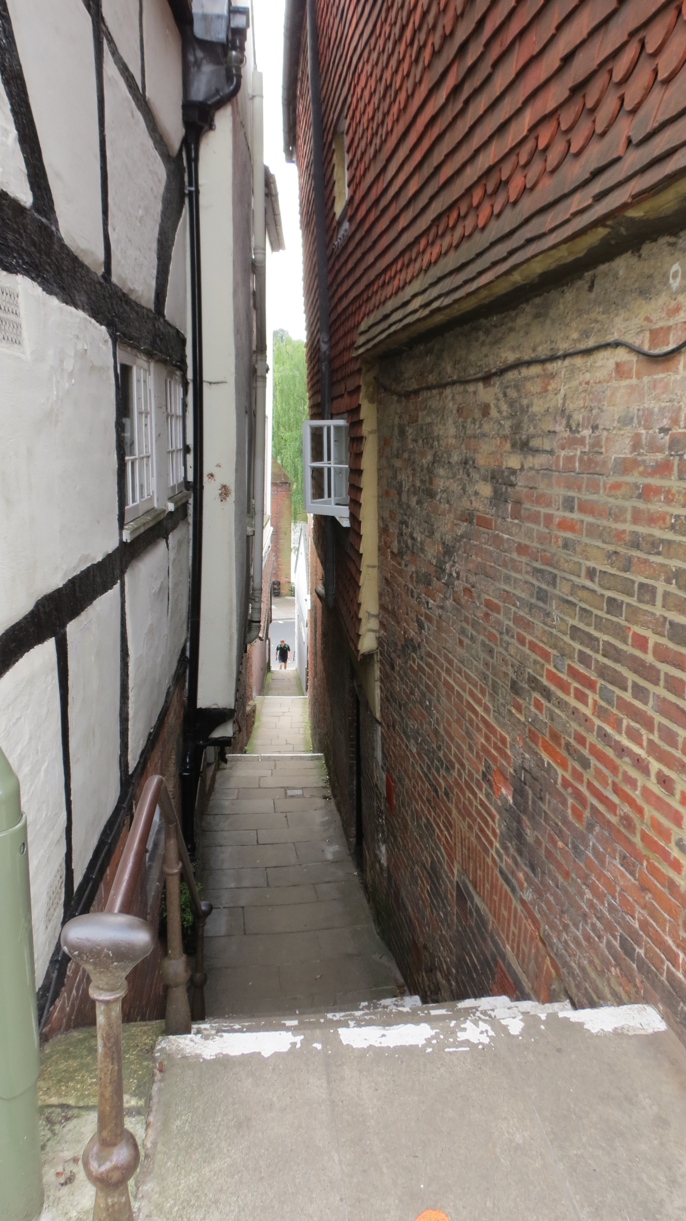
One of the options for returning to our moorings. The town is full of such ginnels.
Comments
The trip up to Guildford was outstanding in terms of the countryside and its historic rural buildings.
It is a great pity the town itself is not more welcoming, opportunities abound but they have not been grasped, a few secure pontoon moorings (banks are very high) would soften the hard edge and change the ambience of the city waterway greatly.